Storengy x Samp: The voice of our customer

Discover why Storengy – ENGIE decided to deploy Samp at all its sites with Antoine BOUDEHENT 

1️⃣ Strong positive users feedback 💙
➡ Samp connects experienced staff & newcomers
➡ Samp removes the guesswork of operations

2️⃣ Fast visual access to information ⏱
➡ Legacy IT/OT systems data, at equipment level
➡ Geospatial data for all: ATEX, buried networks…

3️⃣ Samp is UNIQUE ! 🥇
➡ FUNDAMENTAL: starts from the reality on the ground
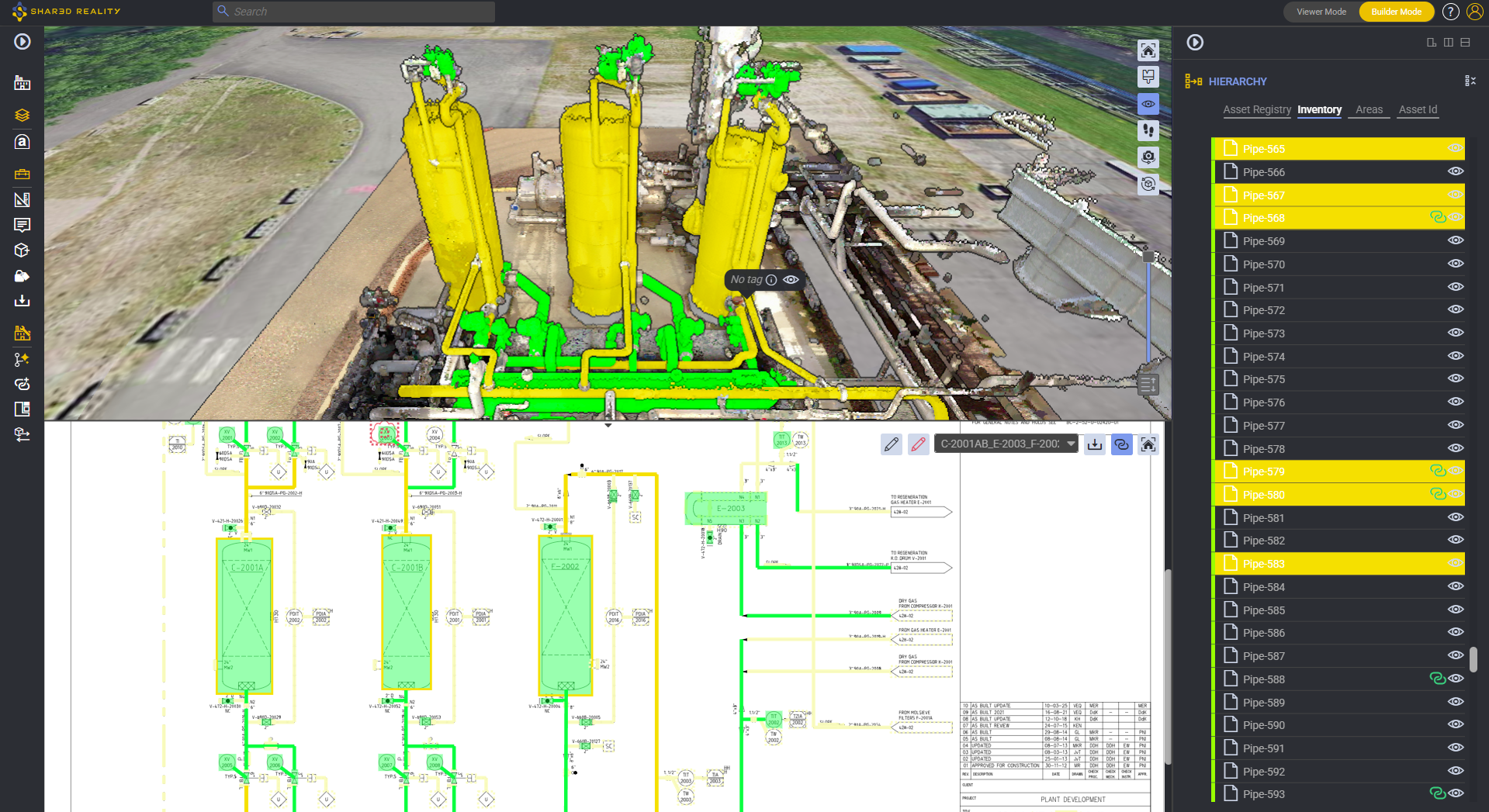
➡ EXISTS NOWHERE ELSE: made intelligent with P&ID
More to explore

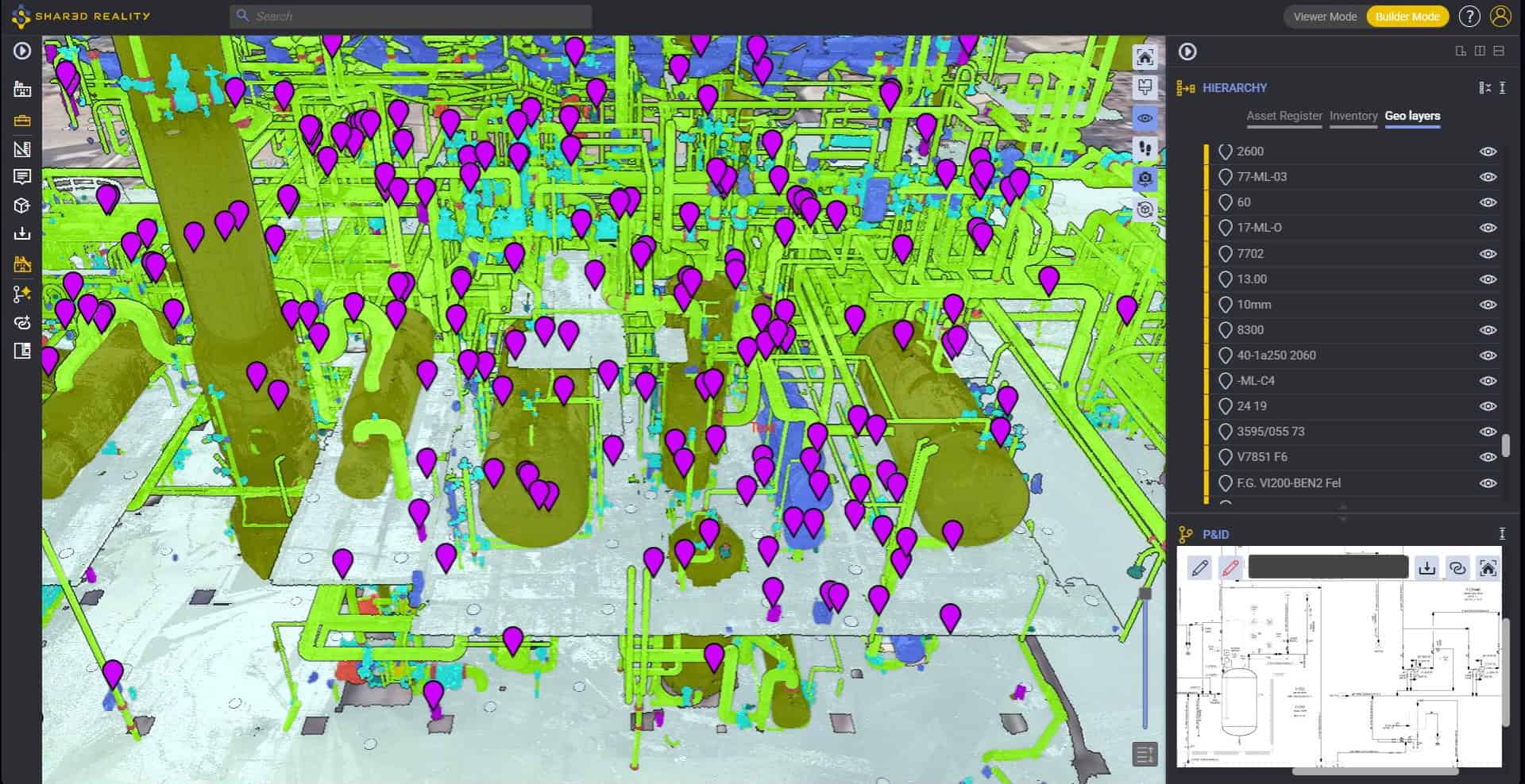
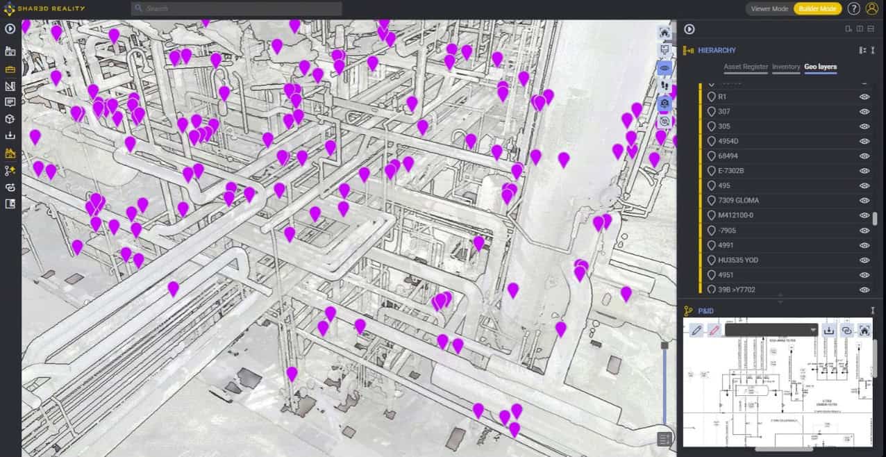
Automated Spatial Tagging

Through automated spatial tagging—powered by in-scan Optical Character Recognition (OCR) embedded within Shared Reality and its Assetizer AI engine—operators can now extract physical label data directly from 360° panoramic imagery embedded in 3D scans. By anchoring physical plant labels directly to CMMS tags and 3D geometries without requiring an existing, validated P&ID as an intermediary, industrial operators can rapidly turn monolithic scans into interactive digital twins, streamline turnaround (TAR) preparations, and unlock comprehensive line-by-line P&ID validation via automated pipe crawling.

A Reality-Based Evolution for RBI and Process Safety Management

In brownfield refining, petrochemical, chemical, and offshore processing facilities, maintaining dedicated “inspection isometrics” represents one of the most resource-draining, error-prone overheads in Asset Integrity Management (AIM). For decades, plant operators have treated 2D Computer-Aided Design (CAD) piping isometric drawings as the mandatory medium for mapping Condition Monitoring Locations (CMLs), defining corrosion loops, and executing Risk-Based Inspection (RBI) workflows under API 570 and API 580/581.

Webinar: Automated Spatial Tagging

Discover how Shared Reality helps you visually isolate piping circuits and corrosion loops instantly, bridging the gap between engineering data and field execution.

Scroll to Top
Logo Samp