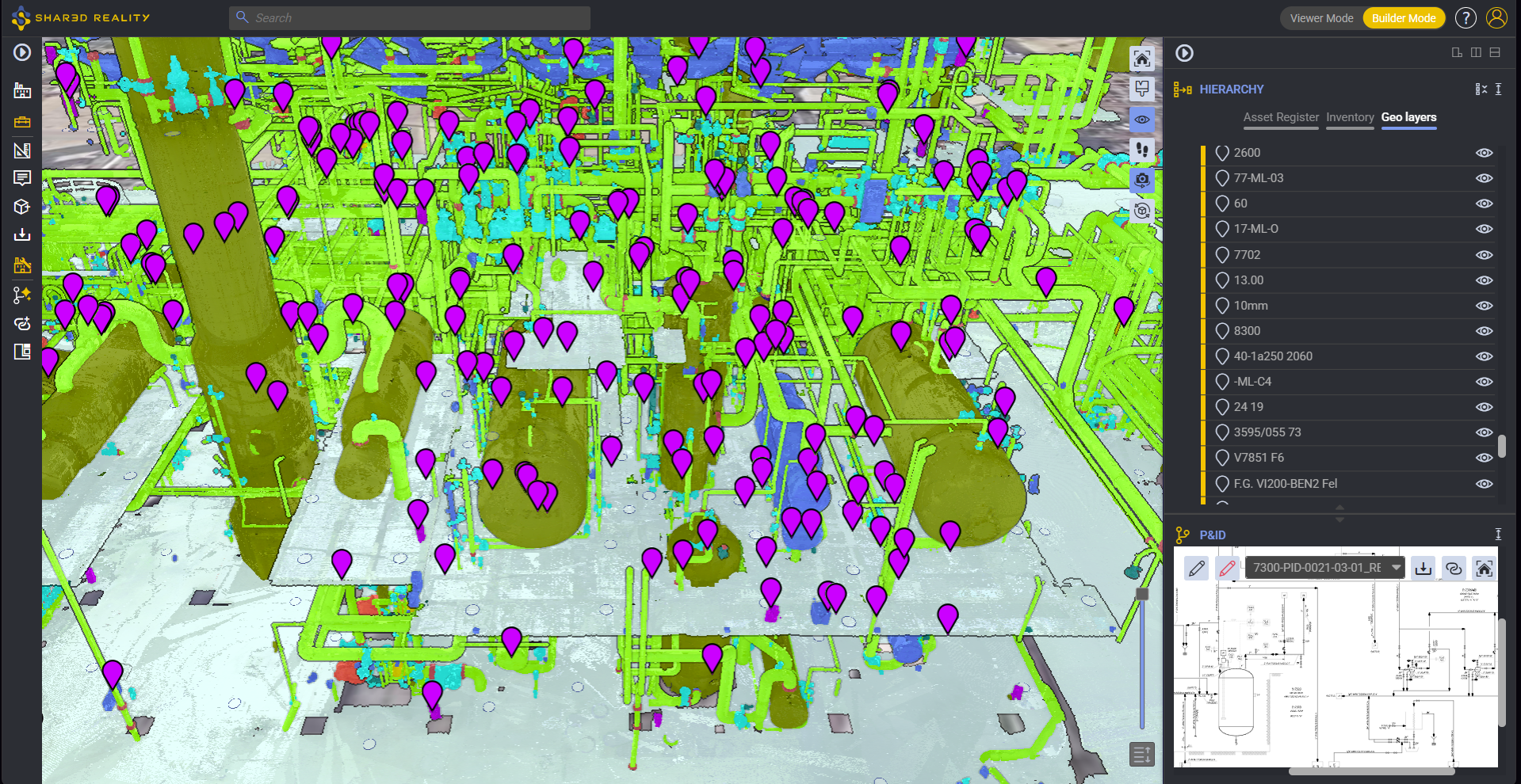
Webinar: Automated Spatial Tagging
Discover how Shared Reality helps you visually isolate piping circuits and corrosion loops instantly, bridging the gap between engineering data and field execution.

Discover how Shared Reality helps you visually isolate piping circuits and corrosion loops instantly, bridging the gap between engineering data and field execution.
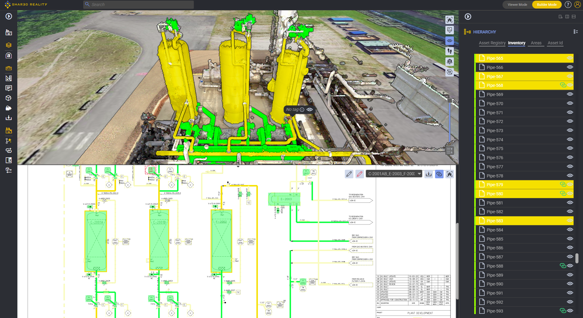
In brownfield refining, petrochemical, chemical, and offshore processing facilities, maintaining dedicated “inspection isometrics” represents one of the most resource-draining, error-prone overheads in Asset Integrity Management (AIM). For decades, plant operators have treated 2D Computer-Aided Design (CAD) piping isometric drawings as the mandatory medium for mapping Condition Monitoring Locations (CMLs), defining corrosion loops, and executing Risk-Based Inspection (RBI) workflows under API 570 and API 580/581.
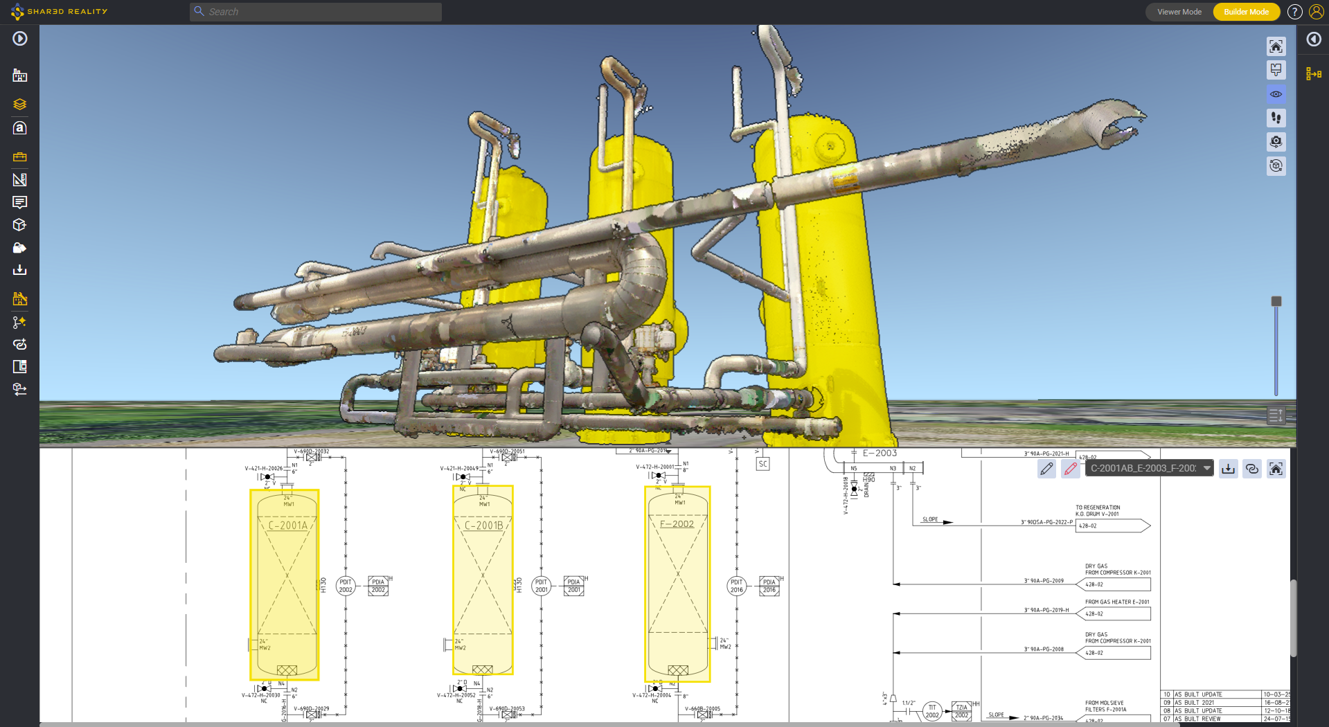
Discover how Shared Reality helps you visually isolate piping circuits and corrosion loops instantly, bridging the gap between engineering data and field execution.

