At the 2026 CGLE, Samp led a session titled “Preserving Heritage Through Operational Data: Sharing Knowledge and Creating Value for the Community.”
Faced with aging infrastructure, retirements, and growing operational challenges, the transfer of knowledge is becoming a major issue for local governments and operators.
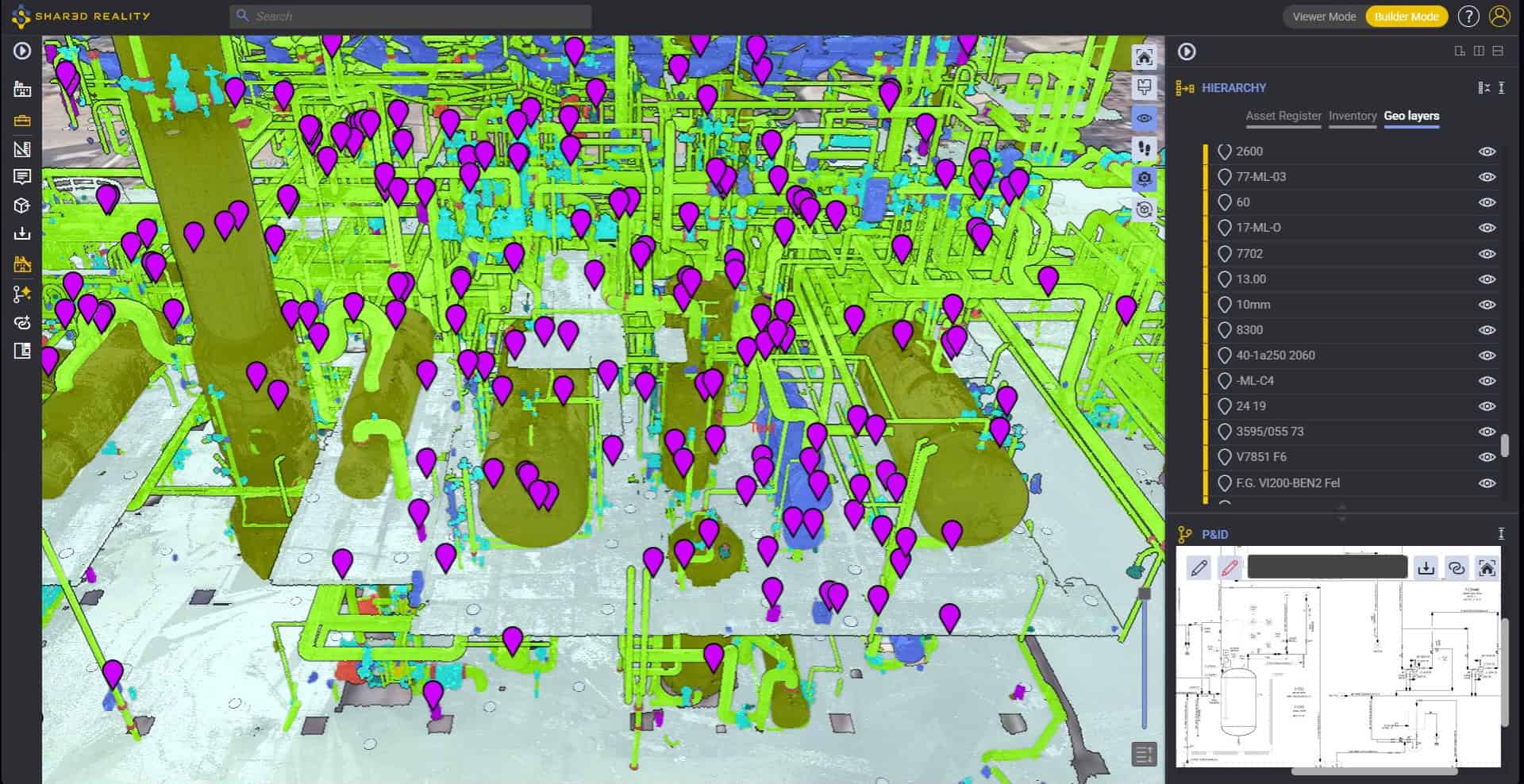
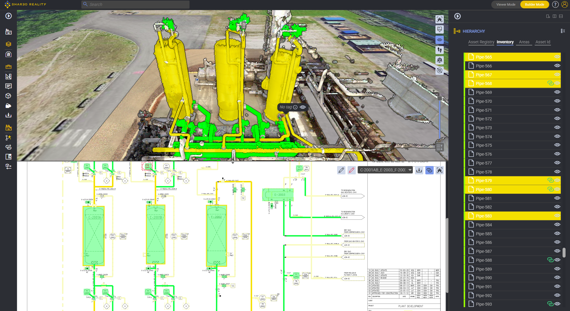
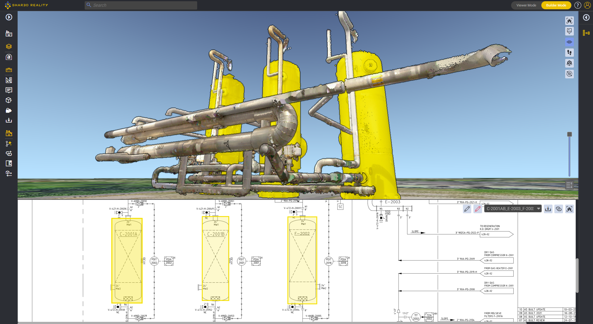
During this presentation, we explored how operational data and Shared Reality can be used to build a reliable, shared view of infrastructure assets, in order to:
- Preserve domain expertise and facilitate its transfer.
- Improve collaboration among teams based on a shared understanding of on-site conditions.
- Secure asset management strategies and long-term investment plans.
- Maintain consistency between infrastructure, technical documents, and on-site reality.
The conference also highlighted several case studies, notably those from SEDIF and BRL, illustrating how the digitization of infrastructure assets helps strengthen asset knowledge, improve operations, and create sustainable value for local communities.
🎥 Watch the replay of the conference below.