In this webinar, we explore the latest capabilities of the Shared Reality workspace, now enriched with interactive 360° panoramic photos. Whether you’re a casual user exploring sites virtually or an experienced engineer working with complex 3D digital twins, this new capability makes your reality capture data more accessible, powerful, and insightful than ever.
What You’ll Learn
✅ Seamless navigation for all users
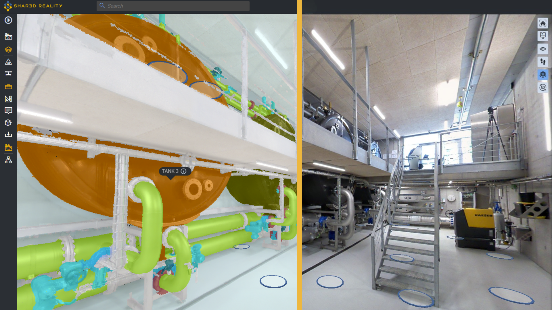
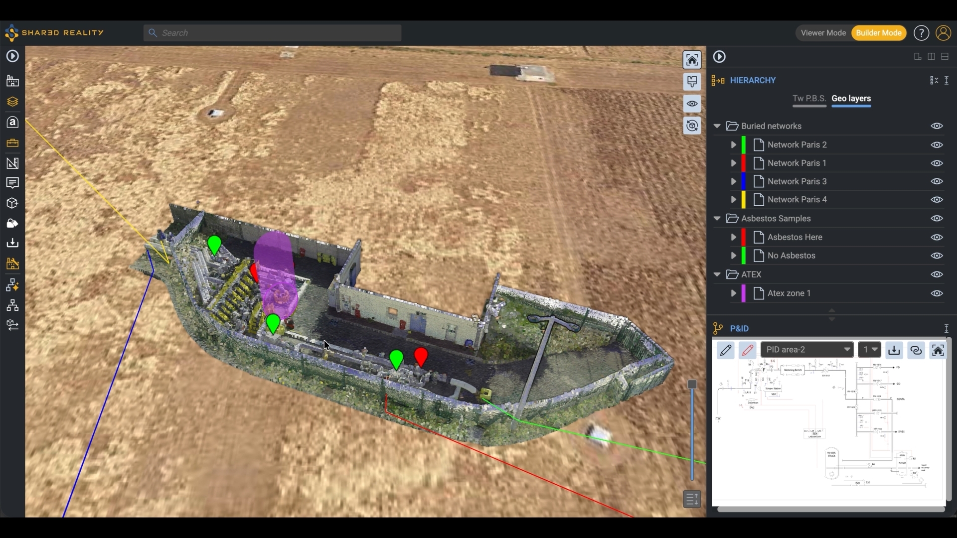
Different users have different preferences – some like the freedom of a 3D view (Google Earth-style), while others are more comfortable moving through familiar photos (like Google Street View). Thanks to the Infinistream 3D engine, you no longer have to choose. Instantly switch between 3D and 360° photo modes, making it easy to onboard any user, technical or non-technical.
✅ Making the invisible visible
Not all captures are perfect – low light, massive site complexity, or missing detail can overwhelm. Thanks to the 3D Assetizer AI, photo-based exploration becomes smarter: automatic segmentation and classification reveal piping, equipment, and logical groupings directly in 360° views. That means you can easily recognize assets, understand or enrich their functional roles, and if needed, instantly fill or access their metadata.
✅ Visual analytics, now in photos
A picture alone doesn’t always tell you enough. What type of fluid runs in this pipe? Which piece of equipment is oldest? By applying interactive data-driven color filters, you can extract insights well beyond static photography. Interactive 3D Business Intelligence now extends directly to 360° photos, making photos a rich visual analytical workspace, with intuitive user-defined colorization rules.
Fill out the request form to access the recording
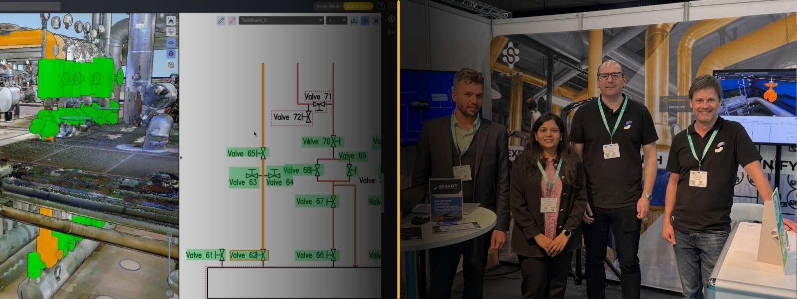
Speakers

Guillaume Delarue
VP Engineering
Samp.ai

Nikola Primetica
Customer Success Manager
Samp.ai