Invisible industrial hazards made visible: meet GeoLayers
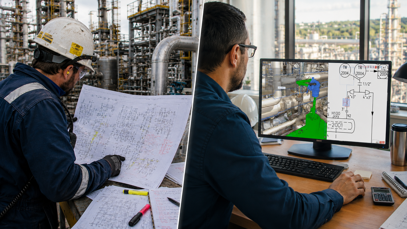
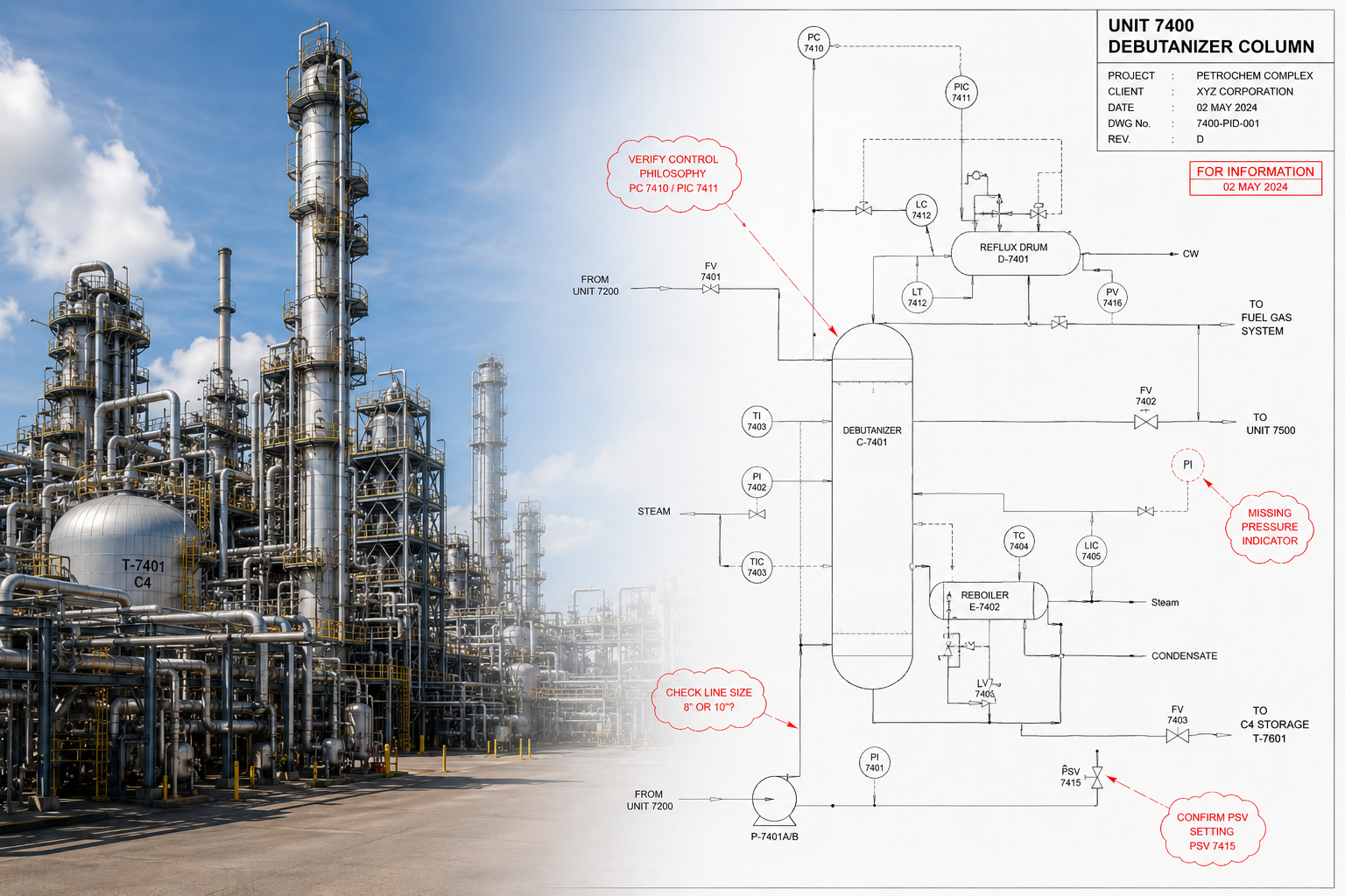
Industrial sites are filled with critical safety information that cannot be seen with the naked eye. From buried underground networks to invisible ATEX zones, asbestos locations, and safety perimeters, relying on 2D documents to communicate these hazards leaves room for dangerous misinterpretations.
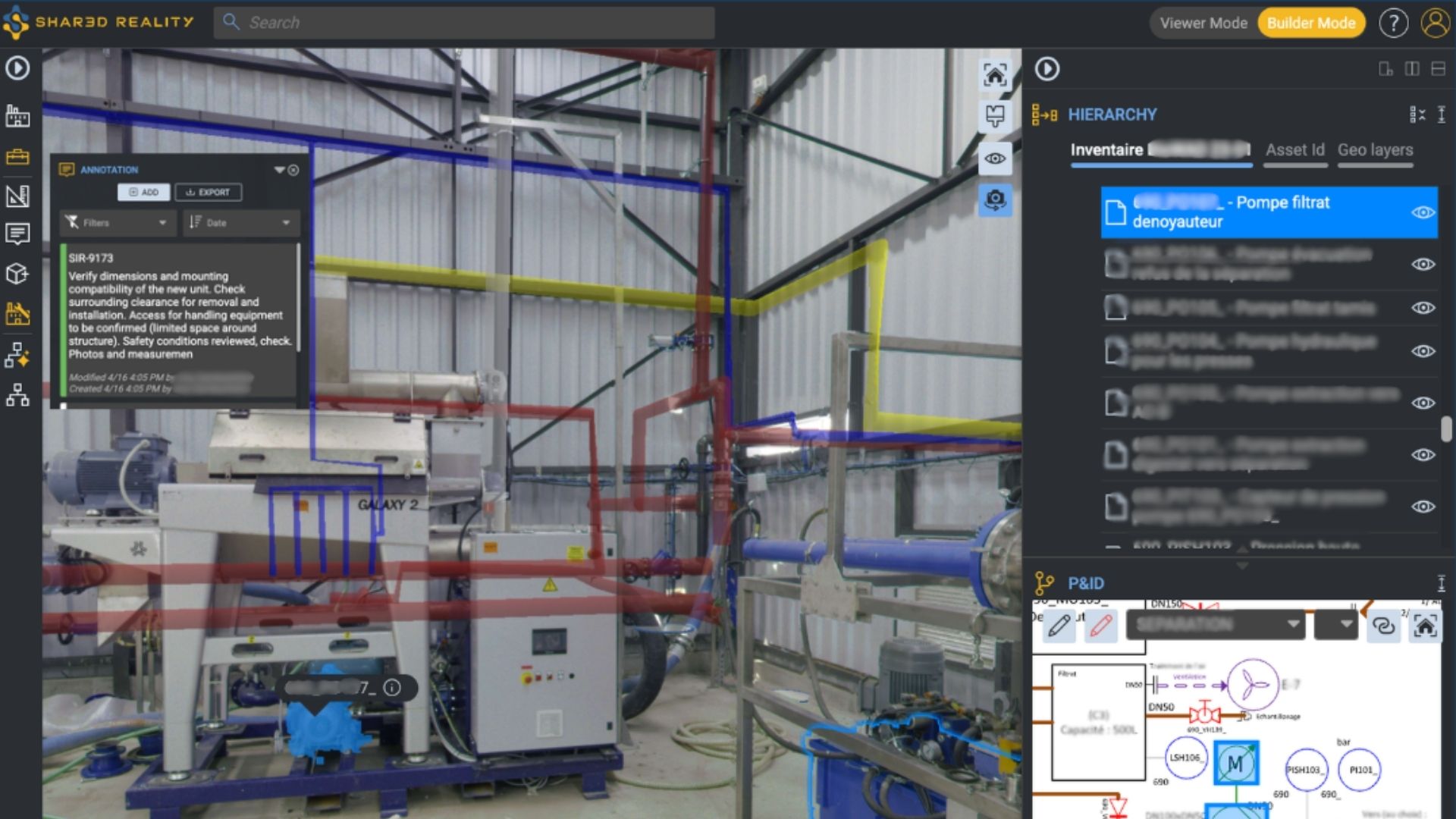
This webinar introducing GeoLayers, the powerful geospatial capability within Shared Reality. GeoLayers allows you to seamlessly visualize, organize, and interact with external GeoJSON data directly within your 3D viewer.
By bringing crucial location-based context right into the 3D reality of your plant, you can instantly raise hazard awareness for field workers and dramatically improve both site security and operational efficiency.
Fill out the request form to access the recording
Speakers

Julien Villemeur
Chief Product Officer
Samp.ai

Dounia Bakhouch
Application Engineer
Samp.ai