Automated Spatial Tagging
Turn Real-World Labels into Smart Digital Tags
What if your 3D scans could read physical plant tags for you?
Connecting your field reality (3D point clouds and 360° photos) to your maintenance records (CMMS/EAM) has traditionally relied on one crucial stepping stone: up-to-date Piping and Instrumentation Diagrams (P&IDs).
The reality on brownfield sites is very different:
- P&IDs are often incomplete, decades out of date, or completely missing.
- Contractors teams don’t know where to start P&ID revalidation without prior field walkdowns.
- 3D scanners and 360° cameras are becoming everyday field tools, yet their visual rich data remains trapped in passive photo viewers.
Shared Reality changes the equation.
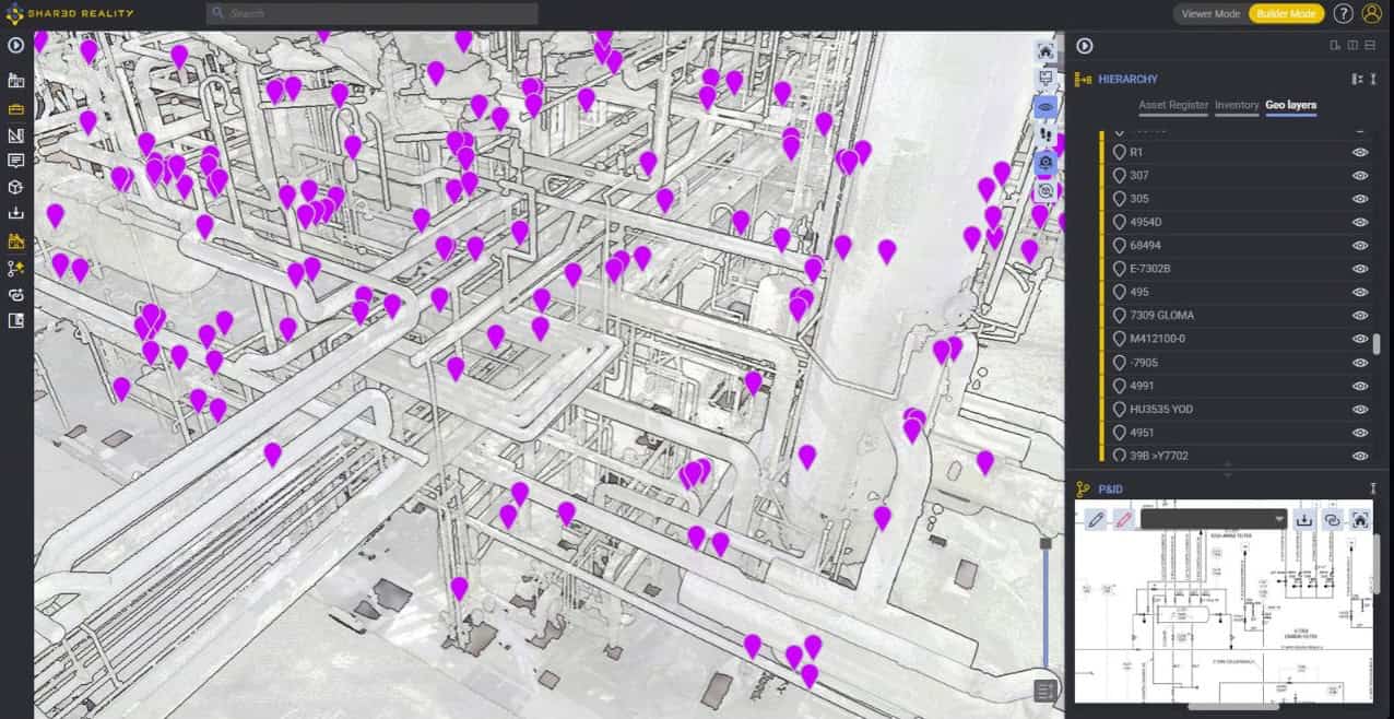
Join this webinar for the unveiling of the new Spatial Tagging feature inside Shared Reality. Learn how the Assetizer AI engine automatically detects, reads, and extracts physical asset tags visible across 360° imagery—turning site photos into structured, queryable digital twin tags without needing a schematic bridge.
Register for the webinar
What you will discover:
– Direct Field-to-CMMS Spatial Tagging
Bypass the schematic prerequisite. Automatically convert nameplates, valve tags, and equipment labels into functional tags mapped directly into your 3D environment and inventory tree.
– A Kickstart for P&ID Validation
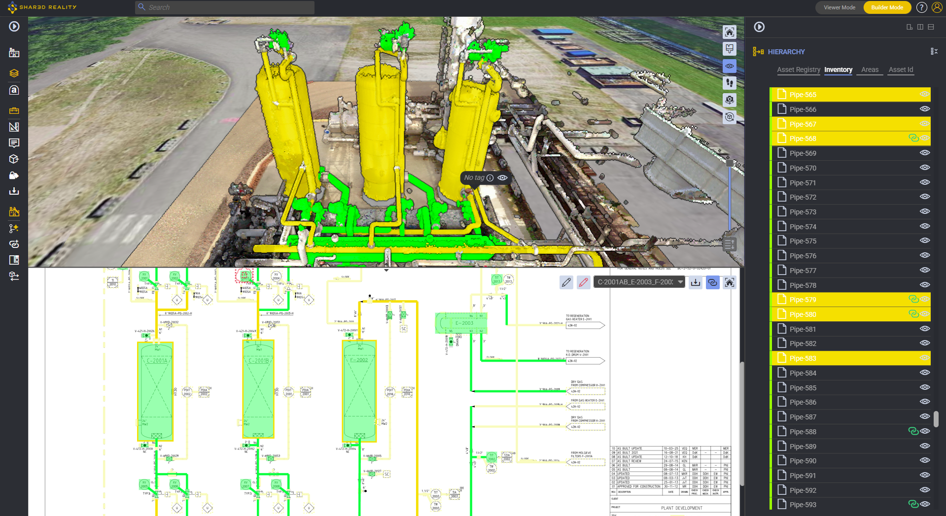
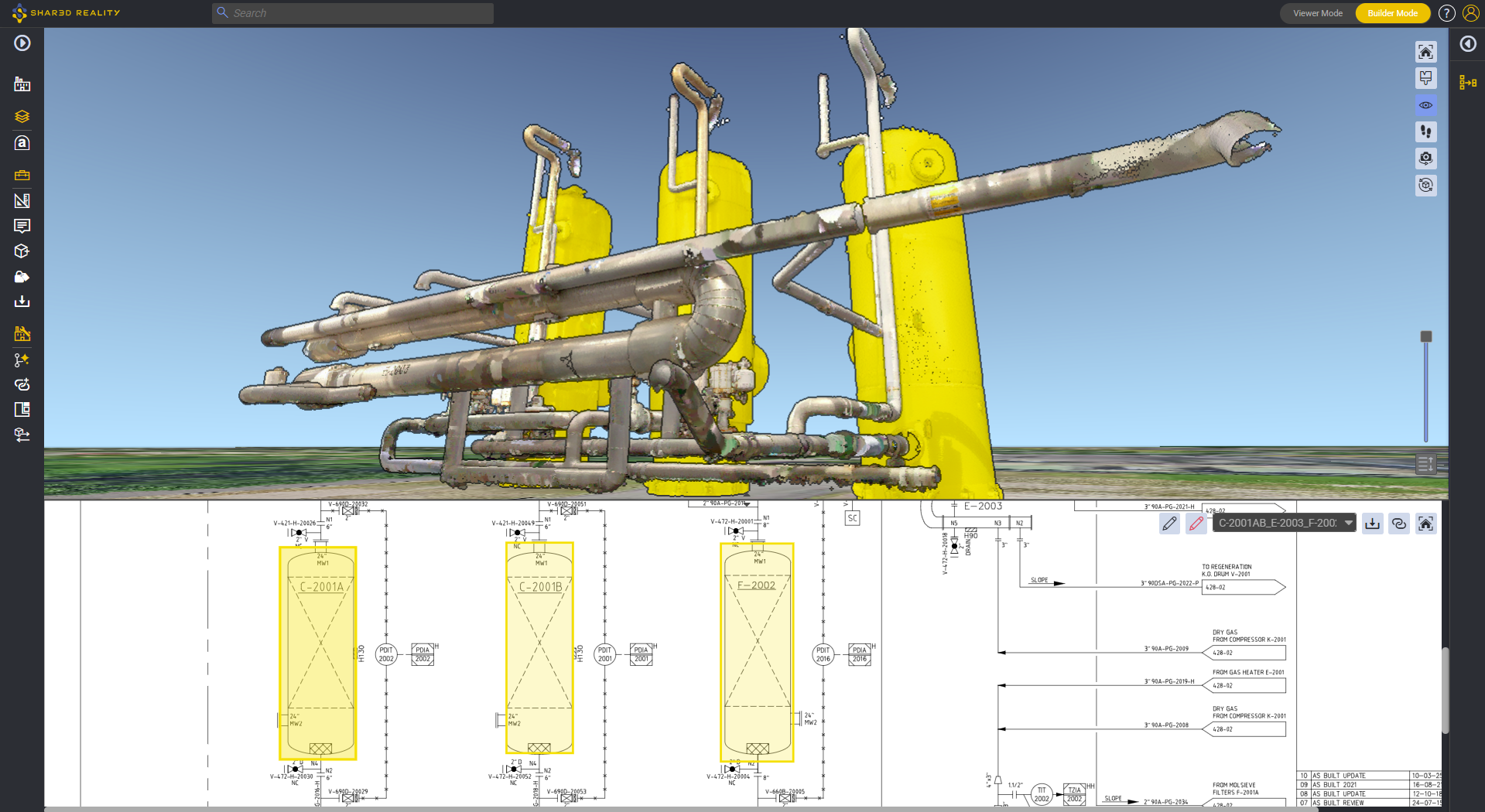
Stop guessing where to start your revalidation work. Use automatically generated spatial tags to ground and accelerate your P&ID revalidation workflows with Shared Reality’s P&ID Validator and Redlining tools.
– Democratizing Reality Capture for Casual Users
As 360° cameras and fast mobile scanners become everyday tools, see how anyone on-site can capture an area and have the AI automate the heavy lifting of inventory registration and localization.
– Live Product Demonstration
Watch an end-to-end live run: uploading scan data with 360° imagera, Assetizer character recognition on real-world labels, edge cases resolution, instant linked asset anchors generation.
Bypass the schematic prerequisite. Automatically convert nameplates, valve tags, and equipment labels into functional tags mapped directly into your 3D environment and inventory tree.
– A Kickstart for P&ID Validation
Stop guessing where to start your revalidation work. Use automatically generated spatial tags to ground and accelerate your P&ID revalidation workflows with Shared Reality’s P&ID Validator and Redlining tools.
– Democratizing Reality Capture for Casual Users
As 360° cameras and fast mobile scanners become everyday tools, see how anyone on-site can capture an area and have the AI automate the heavy lifting of inventory registration and localization.
– Live Product Demonstration
Watch an end-to-end live run: uploading scan data with 360° imagera, Assetizer character recognition on real-world labels, edge cases resolution, instant linked asset anchors generation.
Who Should Attend?
This session is designed for industrial leaders looking to streamline asset information management and reality capture:
- Plant, Operations & Site Managers looking to digitize older facilities without costly engineering overhauls.
- Maintenance & Reliability Engineers wanting accurate physical location mapping for CMMS/EAM work orders.
- Digital Twin & BIM/VDC Leaders seeking scalable workflows to connect spatial data with master data.
- EPCs, Surveyors & Inspection Contractors seeking to deliver higher-value, pre-tagged digital assets to plant owners.
Speakers

Thomas Grand
CCO
Samp.ai

Leslie Rosa
Head of Sales, North America
Samp.ai