Webinar Replay: Geospatial & 3D: what makes Samp so unique

A replay of Samp’s webinar on 25th of April 2024.

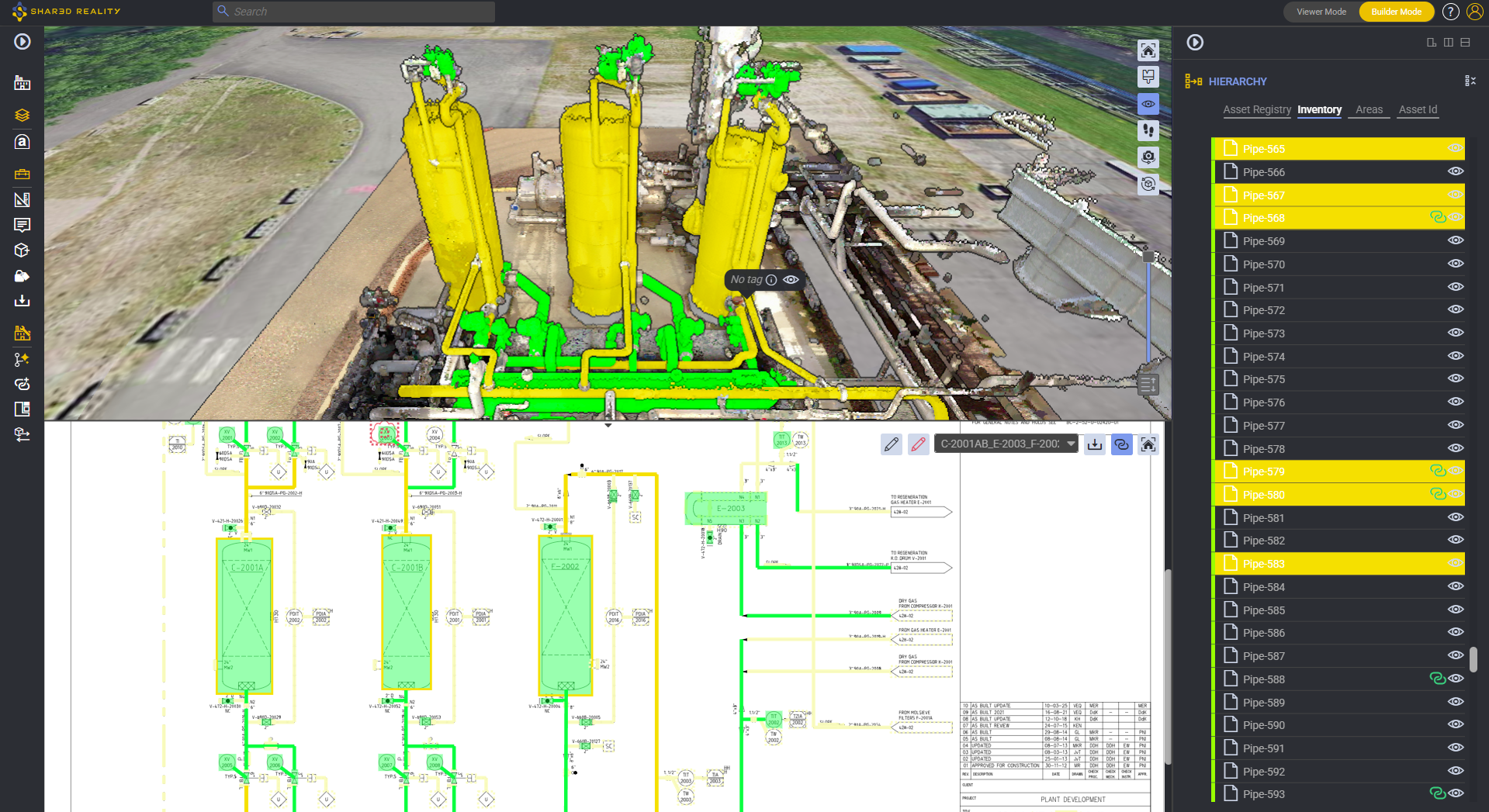
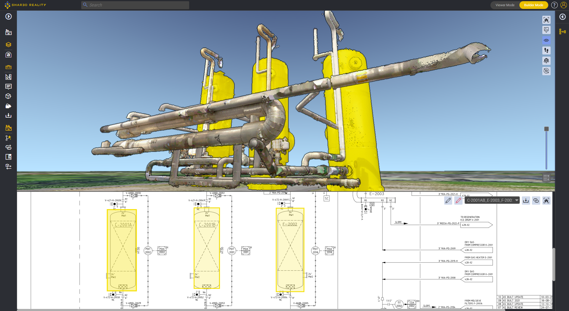
At Samp, we believe that there is a missing link between the reality of the field & technical data. Our Shared Reality workspace cuts across these two worlds, and empowers all teams to collaborate seamlessly on field-checked data in an engaging manner.

During this webinar, our CEO and VP of Engineering will deep dive – or rather skydive – across all the visualization levels of Samp, “from Earth orbit to nuts & bolts”, to better understand why they are so unique and powerful, as well as to highlight the typical use cases they support.

Fill out the request form to access the recording

Speakers

Picture of Laurent Bourgouin
Laurent Bourgouin

CEO & Co-founder
Samp.ai

Picture of Guillaume Delarue
Guillaume Delarue

VP Engineering
Samp.ai
More to explore

Webinar: Automated Spatial Tagging

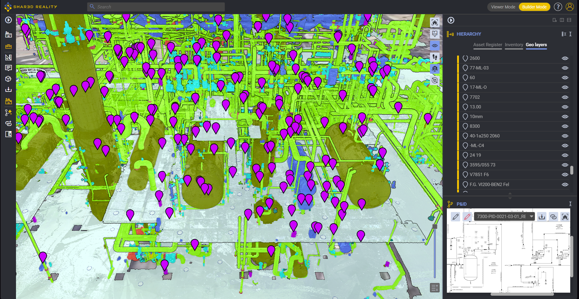
Discover how Shared Reality helps you visually isolate piping circuits and corrosion loops instantly, bridging the gap between engineering data and field execution.

A Reality-Based Evolution for RBI and Process Safety Management

In brownfield refining, petrochemical, chemical, and offshore processing facilities, maintaining dedicated “inspection isometrics” represents one of the most resource-draining, error-prone overheads in Asset Integrity Management (AIM). For decades, plant operators have treated 2D Computer-Aided Design (CAD) piping isometric drawings as the mandatory medium for mapping Condition Monitoring Locations (CMLs), defining corrosion loops, and executing Risk-Based Inspection (RBI) workflows under API 570 and API 580/581.

Scroll to Top
Logo Samp